Wahiba Sands to Sur: Planning a Multi-Day Desert Expedition

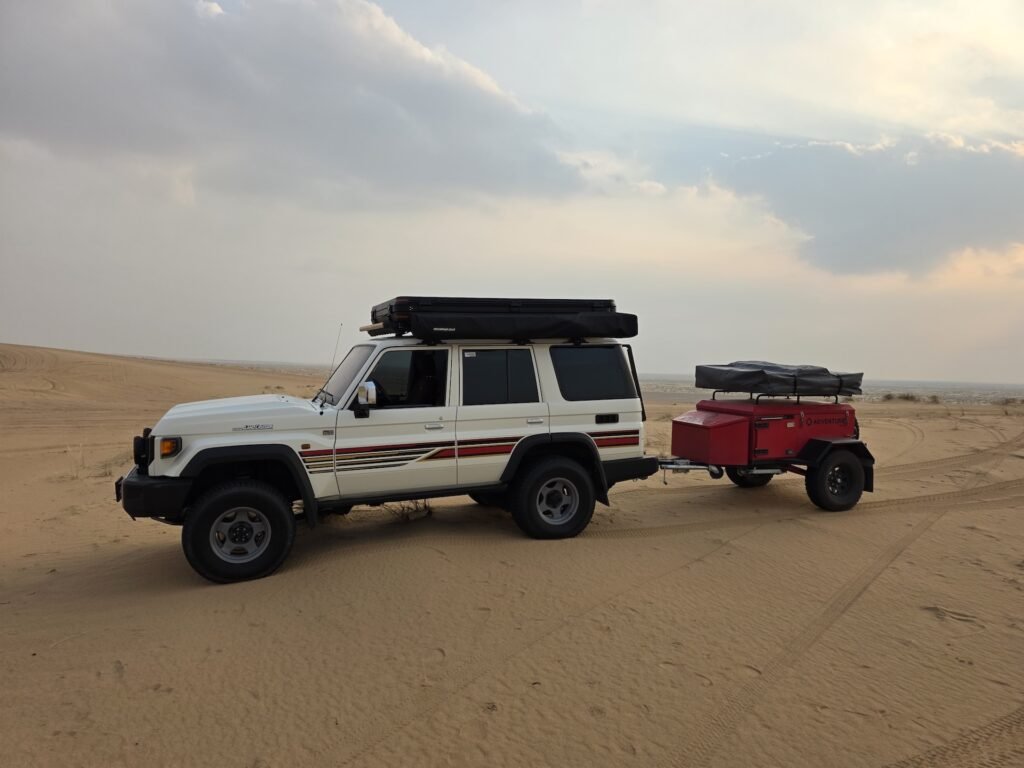
The Wahiba Sands ; officially Sharqiyah Sands ; stretch 180 km from north to south across central Oman, forming a distinct, parallel-ridged erg between the Hajar mountains and the Arabian Sea. Crossing them north-to-south and emerging at the coastal town of Sur makes for one of the most complete expedition experiences available to 4WD drivers based in the UAE.
Route Overview
Most groups enter at Al Wasil on the northern edge, cross the main dune fields over two to three days, and exit near Khaluf on the southern coast before driving along the coastal road to Sur. The total distance is around 450 km. Plan a minimum of three days ; two for the crossing, one for Sur and the turtle beach at Ras Al Jinz.
Sand Conditions
Wahiba sand is rust-red and coarser-grained than the ultra-fine sand at Liwa, which makes it more forgiving for recovery but also means it’s harder to push through on momentum alone. The dune patterns are more regular and predictable than the mega-dunes further south. That said, the scale is significant: individual dune faces can exceed 100 metres.
Logistics
Water is the critical planning item. Carry a minimum of 5 litres per person per day plus a 10-litre reserve. Fuel: there is no reliable fuel between Al Wasil and the coast ; carry jerry cans for 400 km of range. GPS with downloaded offline maps is essential; mobile signal is absent for most of the crossing. A satellite communicator (Garmin inReach or SPOT) is strongly recommended.